
From the airports: IST and Sabiha Gökçen
From Istanbul Airport (IST) the route is simple: join the Kuzey Marmara Motorway at the airport and stay on it across the Yavuz Sultan Selim Bridge to the Asian side. Leave the motorway in the Hüseyinli area, before Ömerli junction, and take a short stretch of road 34-06 to Ayazma Caddesi and Trabzon Caddesi. The whole trip is 56.6 km, about 50–60 min without traffic, and it avoids the city centre entirely.
From Sabiha Gökçen Airport (SAW), head north via Kurtköy, take the Anadolu Motorway briefly and join the Kuzey Marmara Motorway at Mecidiye junction. Continue past Hüseyinli junction to Ömerli junction, then follow road 34-06 for about 3 km before turning onto Ayazma Caddesi and Trabzon Caddesi. Expect 42.1 km, about 55–65 min without traffic.
From the European side: Taksim, Beşiktaş, Bebek, Sultanahmet and Sarıyer
From Taksim or Beşiktaş, take Barbaros Bulvarı and Büyükdere Caddesi up to Levent and join the O-2 ring road; from Bebek, climb via Cengiz Topel Caddesi to the O-2. Cross the Fatih Sultan Mehmet (FSM) Bridge, stay on the O-2 to Çamlık junction, then take the Kuzey Marmara Motorway past Reşadiye and Hüseyinli junctions to Ömerli junction. From Taksim that is 47.2 km, about 50–60 min without traffic.
From Sultanahmet and the old city, follow the coastal Kennedy Caddesi to the Eurasia Tunnel (toll; cars and minibuses only). On the Asian side, continue on the D-100 to Kozyatağı, take the O-2 north to Çamlık junction and then the Kuzey Marmara Motorway to Ömerli junction: 52.7 km, about 60–70 min without traffic. Alternatively, cross the 15 Temmuz Bridge and take the Şile road towards Ümraniye, then the O-2 to Çamlık junction.
From Sarıyer and Kilyos in the north, the Yavuz Sultan Selim Bridge is the natural crossing: stay on the Kuzey Marmara Motorway and leave it in the Hüseyinli area, just as you would coming from the airport.
From the Asian side and nearby villages
If you live in Kadıköy, Üsküdar, Ataşehir or Çekmeköy, you are already on the right side of the Bosphorus. Head north to the Kuzey Marmara Motorway and leave at Ömerli junction. If you prefer to avoid the motorway, the Şile road is an alternative, though it takes longer.
From Polonezköy it is only 9.1 km along the Polonezköy road, about 15–25 min without traffic.
Distances at a glance
Drive times are calculated without traffic. During weekday rush hours the same trips take much longer.
- Istanbul Airport (IST): 56.6 km, about 50–60 min without traffic
- Sabiha Gökçen Airport (SAW): 42.1 km, about 55–65 min without traffic
- Taksim: 47.2 km, about 50–60 min without traffic
- Beşiktaş: 43.6 km, about 40–50 min without traffic
- Bebek: 39.6 km, about 40–50 min without traffic
- Sultanahmet: 52.7 km, about 60–70 min without traffic
- Sarıyer: 42.6 km, about 50–60 min without traffic
- Kilyos: 33.2 km, about 35–45 min without traffic
- Kadıköy: 40.5 km, about 45–55 min without traffic
- Üsküdar: 39.2 km, about 40–50 min without traffic
- Ataşehir: 34.5 km, about 35–45 min without traffic
- Çekmeköy: 24.3 km, about 30–40 min without traffic
- Polonezköy: 9.1 km, about 15–25 min without traffic
Practical tips before you set off
A car or taxi is by far the easiest way to reach us. The Kuzey Marmara Motorway and the Eurasia Tunnel are toll roads, so make sure your car (or rental car) has an HGS tag. Public transport to İshaklı is limited and usually involves several changes.
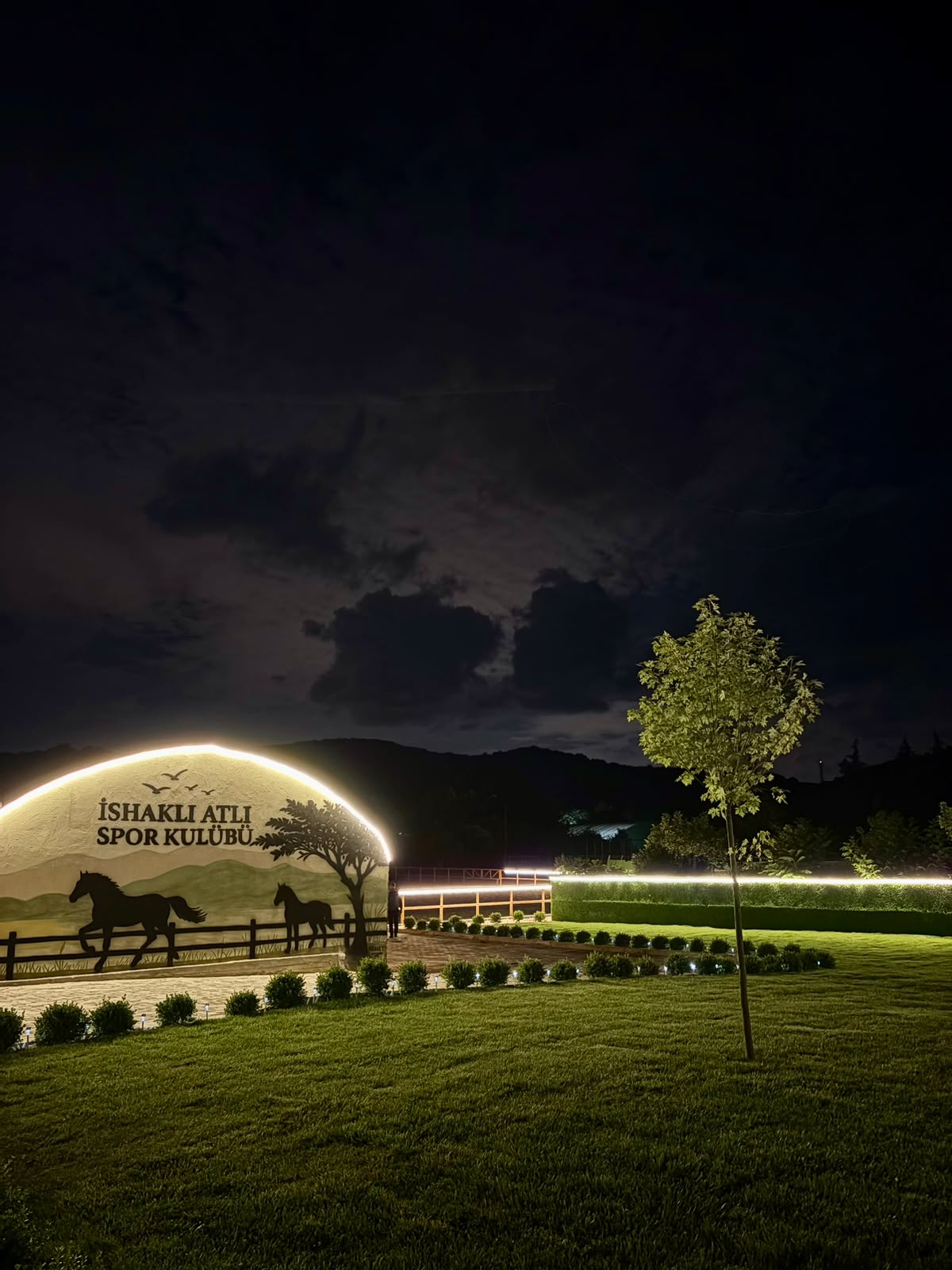
In Google Maps, search for "İshaklı Atlı Spor Kulübü Beykoz", or enter the address İshaklı, Trabzon Cd. No:36/1, 34829 Beykoz / İstanbul. We are open Tuesday to Sunday, 09:00–19:00, and closed on Mondays. Every visit and lesson is by appointment, so please book before you come, by phone or WhatsApp on +90 546 637 15 20.
If you read Turkish, our detailed Turkish route guides by district (17 guides at ishakliatlispor.com/bolgeler) cover many more starting points across Istanbul.